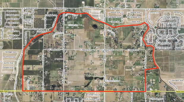
The Dry Creek Preserve (DCP) is a 788-acre area located north of Nees Avenue and south of Shepherd Avenue, between the alignments of Dry Creek (west) and the Enterprise Canal (east).
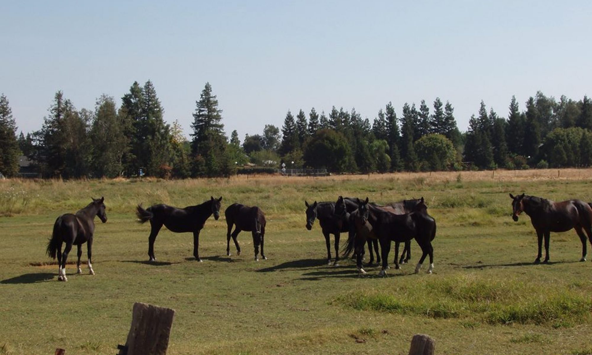
The area has a very long history of agricultural land use which still exists throughout the area today. It dates back to the late 1800’s when Clovis Cole dry-land farmed wheat across its rolling hills. Over nearly 100 years, the area has been piece-meal leveled for irrigation and divided into smaller parcels, which today are sparsely populated with single family residences. In 1977 Fresno County designated the area Rural Residential- Single Family-2 acre minimum. That designation has persisted until today. It was memorialized in the City of Clovis 1993 General, Plan, the 1988 Herndon-Shepherd Specific Plan, and again, recently, in Clovis’ 2010 General Plan Update. It remains largely unchanged in this present Specific Plan. The area has about 258 individual parcels ranging in size from one+ acre to about 31 acres. About 70 percent of the existing parcels are developed with one single-family residence. To date, only two areas of the DCP, totaling about 40 acres have been annexed to the City of Clovis. The remainder continues to be administered under Fresno County’s RR-2-acre minimum designation.